That sinister image beams down from walls and shop windows all over Brighton and Hove and seems to corroborate all the stories I’d seen from Europe about the UK being the CCTV capital of the world.
Wondering just how pervasive that surveillence is, I came across a street game called Snap Zap, part of the Tiny Games of Brighton Digital Festival 2013. The rules are as follows:
Of course I immediately started scanning my surroundings for tell-tale cams while pondering on the Hacker vs Warden concept.
At home I decided to see if anyone had mapped the cameras in Brighton as in Luxembourg and other places but a quick search (on ixquick if you’re interested) turned up just a list of public facing cameras in Brighton & Hove operated by the council and Sussex Police obtained via a Freedom of Information Act request and an article from local newspaper the Argus also based on an FOI request, listing the 400 cameras monitored by Sussex Police and debating the value of their cost of £1.3 million a year.
Seemed like there was nothing for it then but to do the mapping myself…
So here is a (not so) quick & dirty map of the cameras listed in Brighton by the council. I went out and checked a couple of them locally and they are where the coordinates say they are.
Maybe some have been added or removed since the list was published and these are only the cameras that the council and police say they operate and not the multitude of cameras on “private” property that are also monitoring public space.
So if anybody is interested in mapping more of the CCTV cameras in Brighton & Hove, get in touch.
While I was checking up on the local cameras I came across what must be one of the greatest signs about the boundaries of a private area ever in Churchill Square:
and here is a person crossing from public to private space at those very bollards:
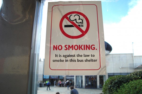
While poking around Churchill Square this sign caught my eye:
So is a bus shelter a private space?
Hmm – time to investigate, and maybe do another #walkshop 😉
UPDATE:
as the “data” provided by the council was just a list I had to convert it into a format that Open Street Map could use, so here is the data in usable formats if you want to play around with it cctvbtn.json or cctvbtn.csv


